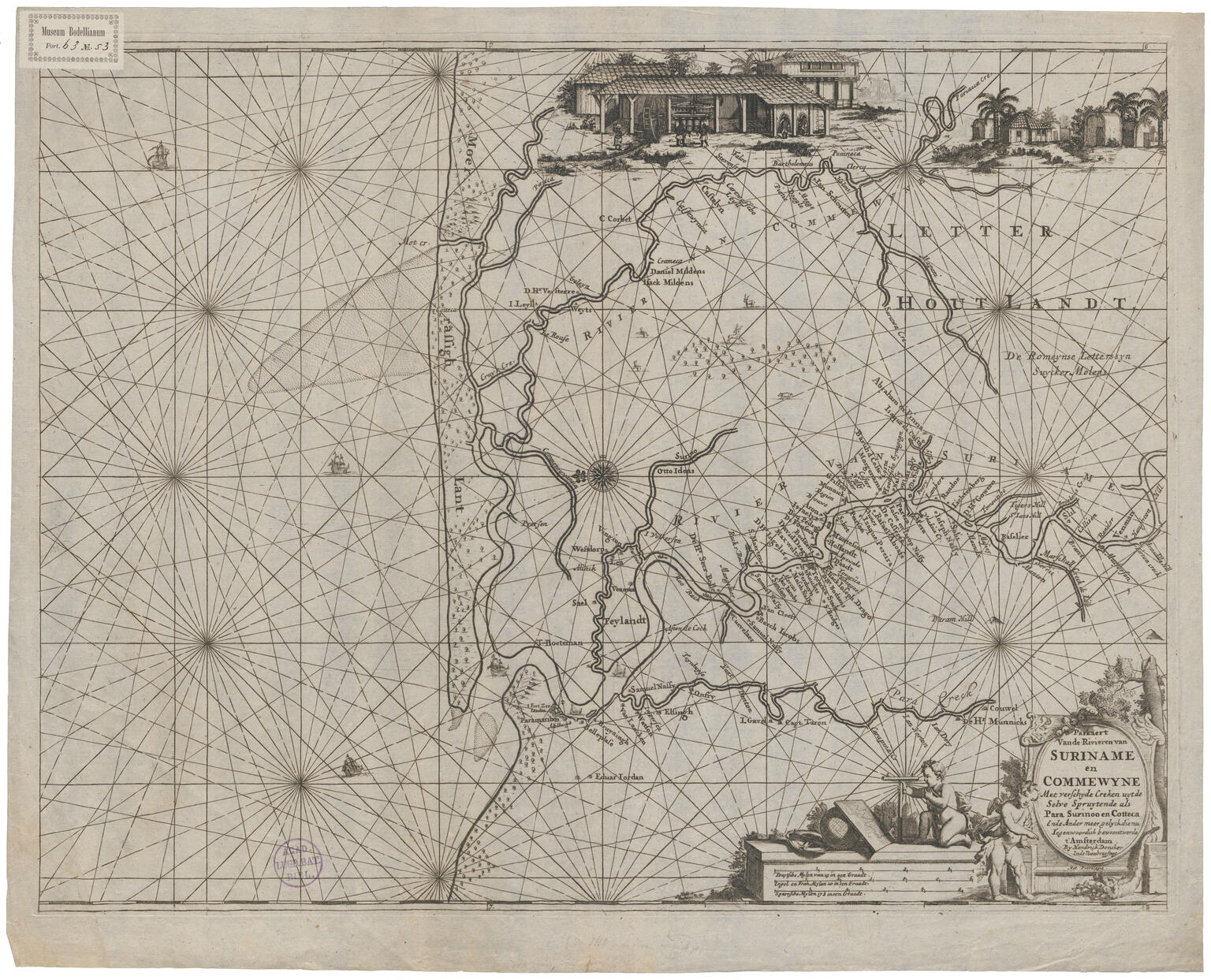
Map of Suriname
By the time this sea pilot’s map of Suriname was created in 1680, there was a well-established Jewish community there. In the 1660s, Jewish communities arose on the Caribbean islands of Martinique, Barbados, and Jamaica. Sephardic Jewish settlers came not only from Amsterdam but also from Livorno, Hamburg, London, and Bayonne. Some of them found their way to Suriname and joined the Jewish settlement that had begun to flourish there in 1667, after it was captured by the English. Jewish settlers began to clear land that had been granted to them for agriculture; to this day this area is called Joden Savanne (“the Jews’ Savannah”). The first synagogue was established there in 1685. In 1694, ninety-two Portuguese Jewish families were living in Suriname, as well as about a dozen Ashkenazic families: in total about 570 people. Jews owned forty sugar plantations and nine thousand slaves.
Credits
Hendrik Doncker, "Paskaert van de rivieren van Suriname en Commewyne," Amsterdam, 1688.
Universitaire Bibliotheken Leiden. Licensed under (CC BY 4.0).
Published in: The Posen Library of Jewish Culture and Civilization, vol. 5.


